Best Treks To Do in Uttarakhand
Uttarakhand, the self-styled Land of the Gods, turns into one of India’s premier trekking destinations each winter, when snow settles across its ridgelines and frozen lakes appear along routes that are green and muddy the rest of the year. Both complete beginners and seasoned trekkers find something suited to them here, from short weekend climbs to week-long expeditions through wildlife sanctuaries and high mountain passes. This guide covers eight of the state’s most rewarding winter treks, each with its own terrain, history, and reason to lace up your boots.
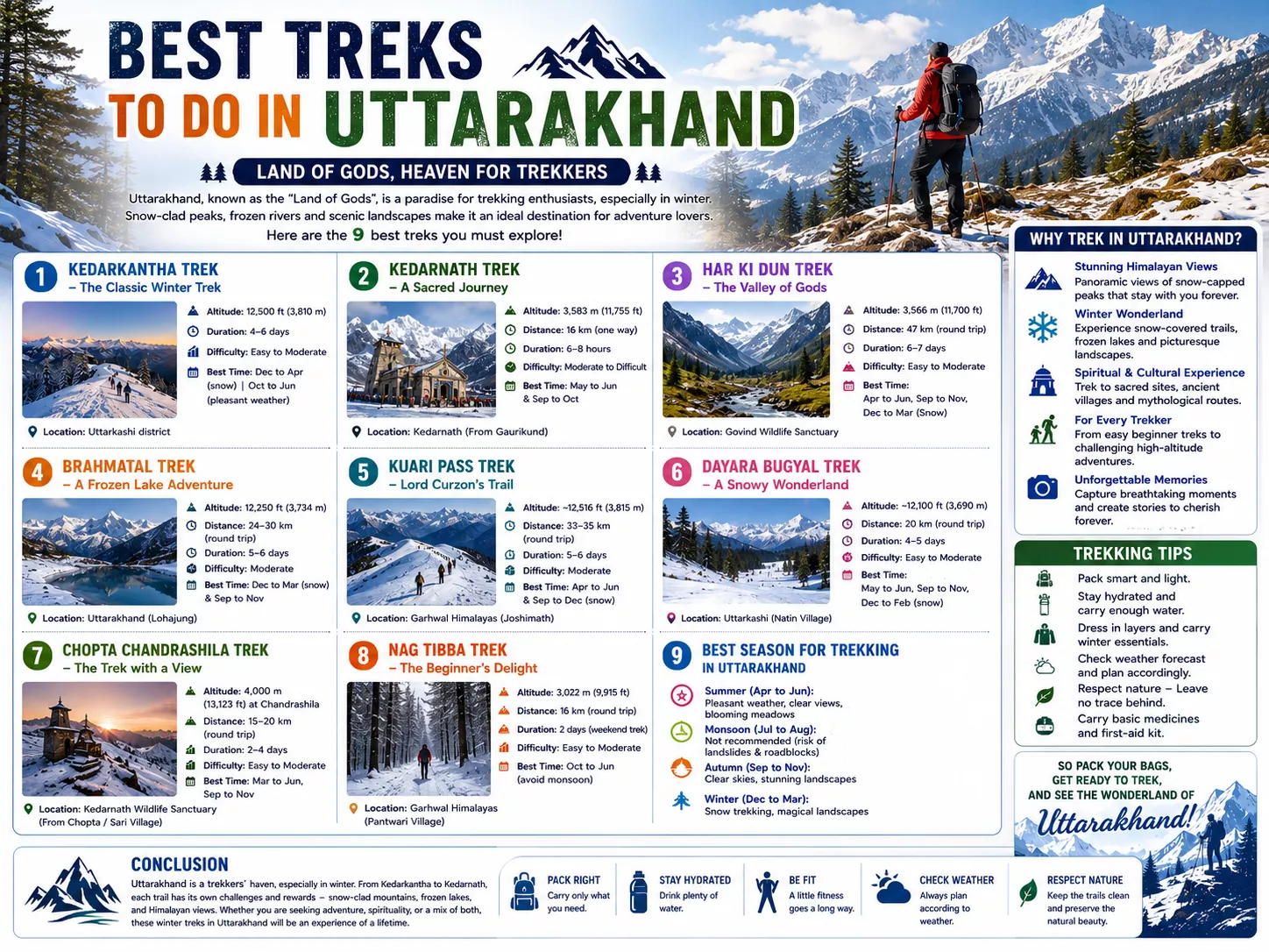
1. Kedarkantha Trek – The Classic Winter Trek
Often nicknamed the Queen of Winter Treks, Kedarkantha begins at Sankri, a small base village inside the Govind Wildlife Sanctuary that also serves trekkers heading toward Har Ki Dun and Bali Pass. The route climbs past Juda Ka Talab, a high-altitude lake that freezes solid in winter and carries a local legend involving a strand of Shiva’s hair. A small stone shrine marks the 12,500-foot summit, and on a clear morning the 360-degree view takes in Swargarohini, Bandarpoonch, and Black Peak, with the Har Ki Dun valley visible in the distance below.
Trekking Overview
- Location: Uttarkashi district, Uttarakhand, India
- Starting Point: Sankri village
- Altitude: 12,500 feet (3,810 meters)
- Distance: Approximately 20 km (round trip)
- Trek Duration: 4–6 days
- Difficulty Level: Easy to Moderate
- Best Time to Visit: December to April (for snow trekking), October to June (for pleasant weather)
2. Kedarnath Trek – A Sacred Journey
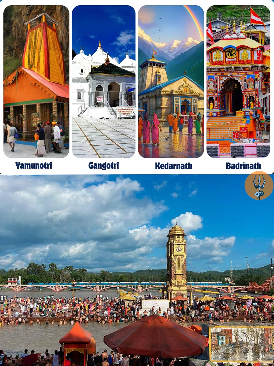
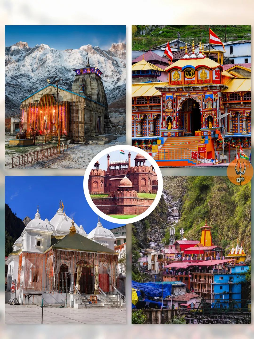
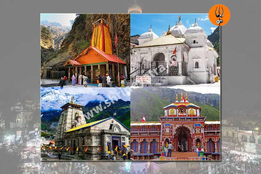
The trek to Kedarnath is as much pilgrimage as adventure, climbing roughly 16 km from Gaurikund to one of the twelve Jyotirlingas of Shiva. In winter the temple itself is closed and the trail buried in snow, but the shoulder seasons bring deodar forest, frozen streams, and views of Chaukhamba, Kedar Dome, and Meru rising above the valley. During the catastrophic 2013 floods, a massive boulder lodged directly behind the temple and split the floodwaters around it, leaving the shrine largely undamaged while much of the surrounding town was destroyed—a detail pilgrims still point out today.
Trekking Overview
- Location: Kedarnath, Uttarakhand, India
- Starting Point: Gaurikund
- Altitude: 3,583 meters (11,755 feet)
- Distance: Approximately 16 km (one way) from Gaurikund to Kedarnath Temple
- Trek Duration: 6 to 8 hours (depending on fitness level and weather conditions)
- Difficulty Level: Moderate to Difficult
- Best Time to Visit: May to June and September to October (avoid monsoon due to heavy rains and landslides)
If you are looking for budget Char Dham yatra package, book here https://www.triptochardham.in/budget-chardham-yatra-packages
3. Har Ki Dun Trek – The Valley of Gods
Har Ki Dun’s cradle-shaped valley sits inside Govind Wildlife Sanctuary and carries a strand of Mahabharata mythology found nowhere else in the Himalayas. Along the route, the village of Osla holds a wooden temple dedicated to Duryodhana, the Kaurava antagonist of the epic—a rare case of his worship, rooted in local tradition that his kingdom once covered this valley and that villagers stayed loyal to him even after his defeat. Beyond Osla, the trail follows the Supin River toward Swargarohini, the peak legend describes as Yudhishthira’s stairway to heaven, through glacier-fed terrain that gives the trek its reputation for quiet, high-altitude wilderness.
Trekking Overview
- Location: Uttarakhand, India (Govind Wildlife Sanctuary, Uttarkashi district)
- Starting Point: Sankri village
- Altitude: 3,566 meters (11,700 feet)
- Distance: Approximately 47 km (round trip)
- Trek Duration: 6 to 7 days
- Difficulty Level: Easy to Moderate
- Best Time to Visit:
- Summer: April to June (pleasant weather, blooming meadows)
- Autumn: September to November (clear skies, scenic views)
- Winter: December to March (snow-covered landscapes, challenging conditions)
4. Brahmatal Trek – A Frozen Lake Adventure
Brahmatal begins at Lohajung, a village that also serves as a junction point for the Roopkund trek, and takes its name from the lake that sits frozen solid for much of the winter season. A second, smaller lake, Bekaltal, appears earlier on the route and makes a scenic first-night campsite before the trail climbs through rhododendron and oak forest toward the main lake. The reward at the top is a close-range view of Mt. Trishul and Mt. Nanda Ghunti, with the frozen lake doubling as a mirror for the peaks on still mornings.
Trekking Overview
- Location: Uttarakhand, India
- Starting Point: Lohajung
- Altitude: 12,250 feet (3,734 meters)
- Distance: Approximately 24–30 km (round trip)
- Trek Duration: 5–6 days
- Difficulty Level: Moderate
- Best Time to Visit: December to March (for snow trekking) & September to November (for clear views and pleasant weather)
5. Kuari Pass Trek – Lord Curzon’s Trail
Kuari Pass owes its nickname to Lord Curzon, the British Viceroy of India, who trekked this ridge route from Joshimath in 1905 and was reportedly so struck by the view that his name has stuck to the trail ever since. The pass sits inside the Nanda Devi Biosphere Reserve, a UNESCO World Heritage Site built around India’s second-highest peak, and the route crosses Gorson Bugyal, one of Asia’s larger high-altitude meadows, en route to a summit framed by Kamet, Chaukhamba, Dronagiri, Changabang, and Neelkanth. Most itineraries end at Auli, the country’s best-known ski resort, for a scenic final descent.
Trekking Overview
- Location: Uttarakhand, India (Garhwal Himalayas)
- Starting Point: Joshimath
- Altitude: Approximately 12,516 feet (3,815 meters)
- Distance: Around 33–35 km (round trip)
- Trek Duration: 5–6 days
- Difficulty Level: Moderate
- Best Time to Visit:
- Summer: April to June
- Winter: September to December (for snow trekking)
6. Dayara Bugyal Trek – A Snowy Wonderland
Dayara Bugyal is usually reached from Raithal or Barsu, two villages in Uttarkashi district that both feed into the same rolling meadow, often described as among the largest high-altitude grasslands in Asia. Local legend names the meadow after Darya Nag, a serpent deity believed to inhabit its waters, and every August the surrounding villages hold a Butter Festival, smearing butter and buttermilk on each other in tribute to their livestock rather than the usual colors of Holi. From the open grassland, the Gangotri range spreads out alongside Bandarpoonch, Kalanag, Srikanth, and Jaonli, close enough in the thin winter air to feel within reach.
Trekking Overview
- Location: Uttarkashi district, Uttarakhand, India
- Starting Point: Raithal or Barsu village
- Altitude: Approximately 12,100 feet (3,690 meters)
- Distance: Around 20 km (round trip)
- Trek Duration: 4 to 5 days
- Difficulty Level: Easy to Moderate
- Best Time to Visit:
- Summer (May to June): Pleasant weather, lush green meadows
- Autumn (September to November): Clear skies, vibrant landscapes
- Winter (December to February): Snow-covered trails, ideal for snow trekking
7. Chopta Chandrashila Trek – The Trek with a View
This route climbs first to Tungnath, the highest Shiva temple in the world and the highest of the five Panch Kedar shrines, before continuing to Chandrashila summit for one of the most complete panoramas in the Garhwal Himalayas. Himalayan monal sightings are common along the alpine meadows above Chopta, and the final stretch to Chandrashila rewards trekkers with an unbroken view of Nanda Devi, Chaukhamba, and Trishul at sunrise. A gentle gradient by Himalayan standards makes this one of the more accessible high-altitude treks in the state, even under winter snow.
Trekking Overview
- Location: Uttarakhand, India (Kedarnath Wildlife Sanctuary)
- Starting Point: Sari Village or Chopta
- Altitude: 4,000 meters (13,123 feet) at Chandrashila Peak
- Distance: Approximately 15–20 km (round trip)
- Trek Duration: 2 to 4 days (depending on itinerary)
- Difficulty Level: Easy to Moderate
- Best Time to Visit: March to June, September to November
8. Nag Tibba Trek – The Beginner’s Delight
Nag Tibba holds the title of highest peak in the Lesser Himalayan range near Mussoorie, reached by a short climb from Pantwari village past a temple dedicated to Nag Devta, the serpent god still worshipped by local villagers for the protection of their cattle. The trek is well known enough to appear in Heinrich Harrer’s memoir Seven Years in Tibet, and its short duration has made it one of the most popular weekend treks for trekkers based in Delhi or Dehradun. The summit is marked by a flag, or “jhandi,” opening onto views of Bandarpoonch, Swargarohini, and the Gangotri range.
Trekking Overview
- Location: Uttarakhand, India (Garhwal Himalayas)
- Starting Point: Pantwari village
- Altitude: 3,022 meters (9,915 feet) at Nag Tibba Summit
- Distance: Approximately 16 km (round trip)
- Trek Duration: 2 days (weekend trek)
- Difficulty Level: Easy to Moderate
- Best Time to Visit: October to June (avoid monsoon season)
Conclusion
Eight trails, eight completely different Himalayas: the frozen lakes of Kedarkantha and Brahmatal, the sacred climb to Kedarnath, the mythology folded into Har Ki Dun’s villages, and the sweeping ridge views from Kuari Pass and Chandrashila. Winter transforms all of them, turning meadows into snowfields and lakes into mirrors, though each trek suits a different kind of traveler—from complete beginners on Nag Tibba to seasoned trekkers ready for a week inside Govind Wildlife Sanctuary.
Whichever trail you choose, pack your bags—Uttarakhand’s winter mountains are waiting.