Which Dham Is the Most Difficult to Visit?
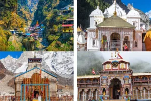
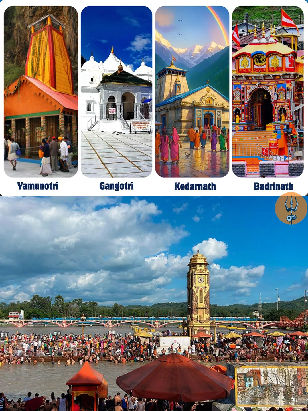
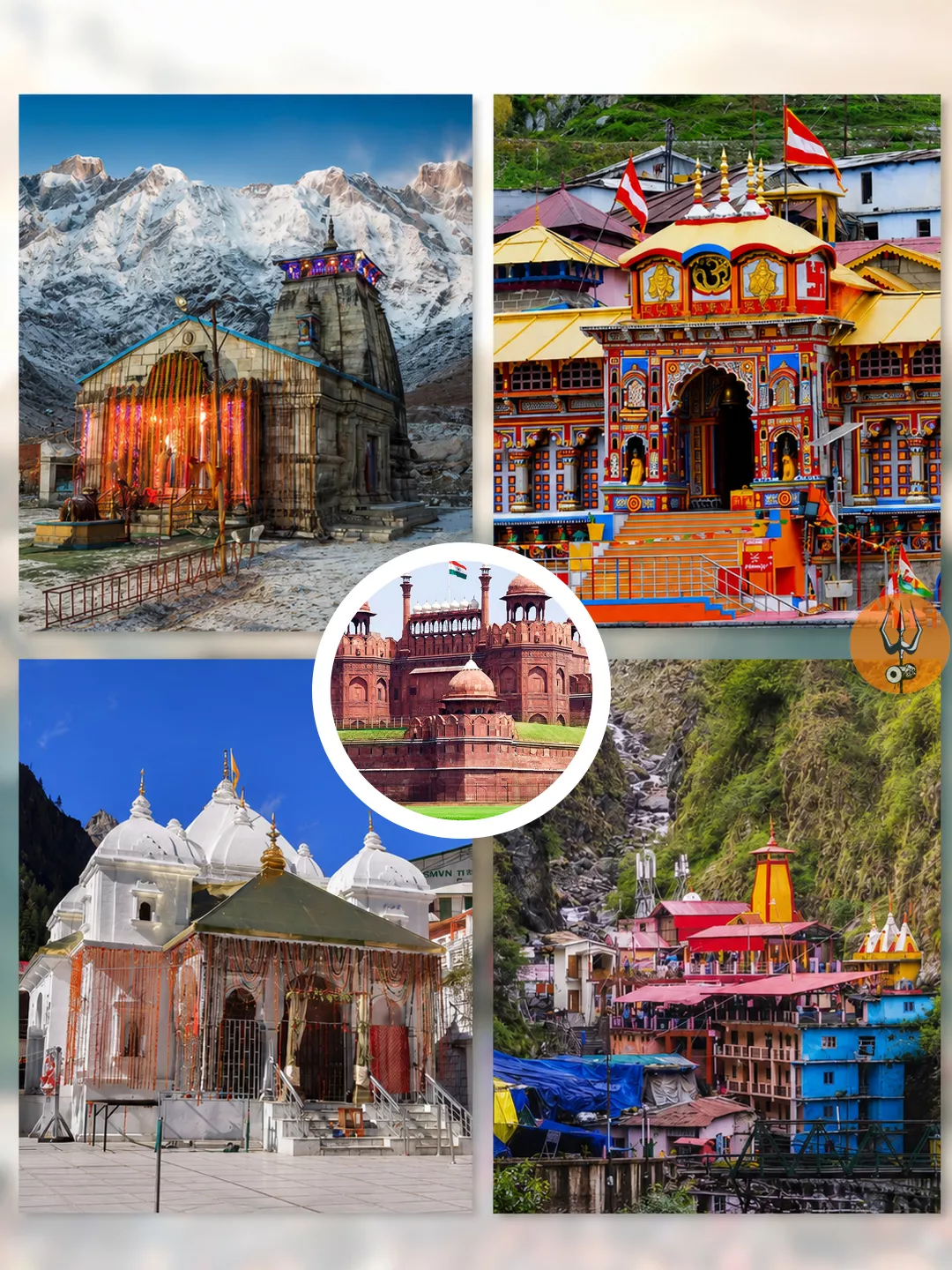
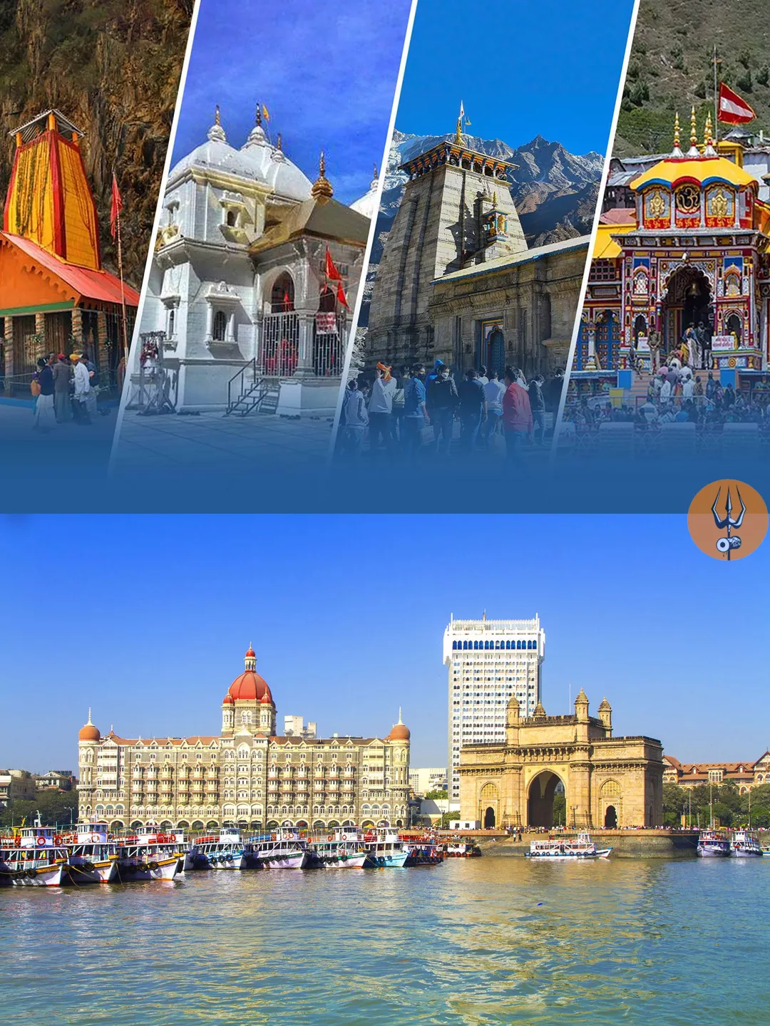
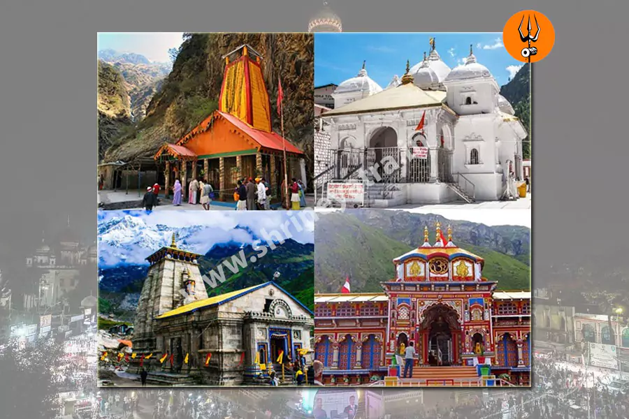
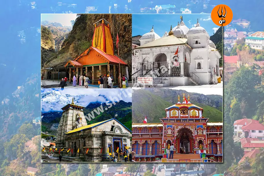
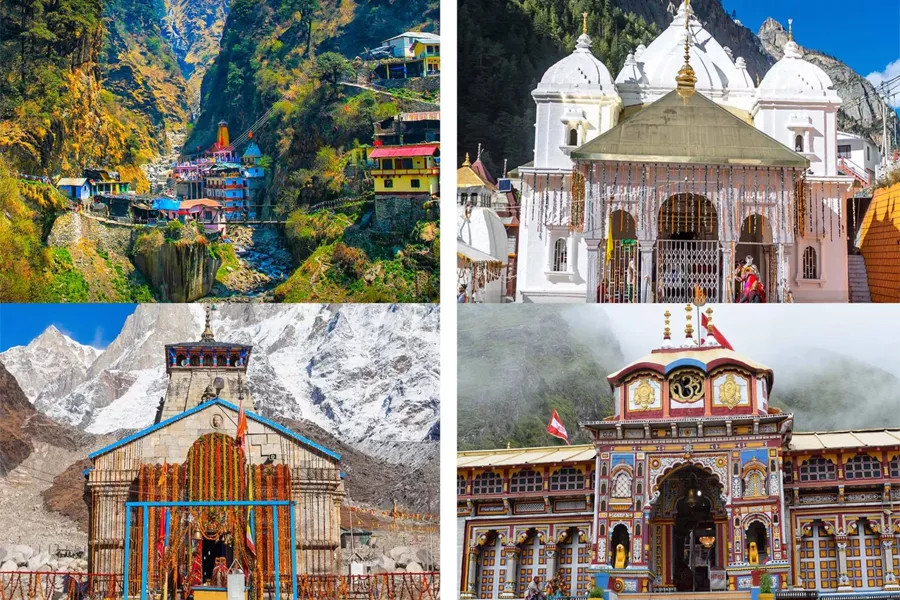
The four Dhams of Uttarakhand are Yamunotri, Gangotri, Kedarnath and Badrinath. Each has different travel demands. If you are wondering which Dham is the most difficult to visit, Kedarnath is generally the most demanding for trekking because of its long uphill route from Gaurikund. Yamunotri also requires a steep uphill walk from Janki Chatti.
Gangotri and Badrinath are accessible by road to their temple areas. However, long mountain drives, high altitude, cold weather and road disruptions can make these journeys tiring too. The right choice depends on your physical condition, preferred transport, available time and the conditions during your visit.
Quick Answer: Which Dham Is the Most Difficult to Visit?
Kedarnath is generally the hardest Dham for pilgrims who plan to walk the usual route because the journey involves a long uphill trek at high altitude. Yamunotri is another physically demanding destination because of its steep approach from Janki Chatti. However, the answer changes when you consider road travel, alternative transport, weather and individual fitness. Gangotri and Badrinath are easier to reach by road, but neither journey is effortless.
Char Dham Yatra Difficulty Comparison at a Glance
| Factor | Yamunotri | Gangotri | Kedarnath | Badrinath |
|---|---|---|---|---|
| Approximate temple altitude | About 3,233 m | Official sources vary; around 3,100 m on the Dham page | About 3,580 m | About 3,133 m |
| Main access route | Road to Janki Chatti, then uphill | Road to Gangotri | Road to Gaurikund, then uphill | Road to Badrinath |
| Walking required | Substantial uphill walk, unless using available alternatives | Short walk around temple area | Long uphill trek, unless using alternative transport | Usually a short walk around the temple area |
| Trek distance | Around 3 km according to one official page; other descriptions give longer estimates | No long trek required for the temple visit | Around 15–19 km one way in official tourism descriptions | No long trek required for the temple visit |
| Elevation gain | Exact gain not consistently verified | Not applicable to the ordinary temple visit | Significant uphill gain; exact figure depends on starting point and route | No major temple-access trek |
| Terrain | Steep, uneven or slippery in poor weather | Mountain roads and a short temple approach | Long uphill path, uneven sections and exposed weather | Mountain roads and high-altitude surroundings |
| Road access | Not to the temple itself | Yes | Not to the temple itself | Yes |
| Main physical challenge | Sustained uphill walking | Long road journey and altitude | Trekking endurance and altitude | Long road journey and altitude |
| Weather concerns | Rain, cold and slippery trail | Cold, rain, snow and road disruptions | Cold, rain, snow and changing trail conditions | Cold, snow and mountain-road disruptions |
| Alternative transport | Pony or palki may be available, subject to current arrangements | Road transport to the temple area | Helicopter, pony or palki may be available, subject to current arrangements | Road transport |
| Overall accessibility | Moderate to challenging on foot | Relatively accessible for the temple visit | Most demanding on foot | Relatively accessible for the temple visit |
How to read the table: These are approximate descriptions, not official difficulty scores. The Uttarakhand Tourism website gives Yamunotri’s route from Janki Chatti as about 3 km, while some of its other information describes longer distances. Kedarnath route estimates also vary, with official pages describing approximately 15 km and around 19 km. Confirm the current route and measurement before travelling.
Gangotri altitude figures also differ across official tourism pages. For that reason, the table identifies the discrepancy rather than presenting a falsely precise comparison.


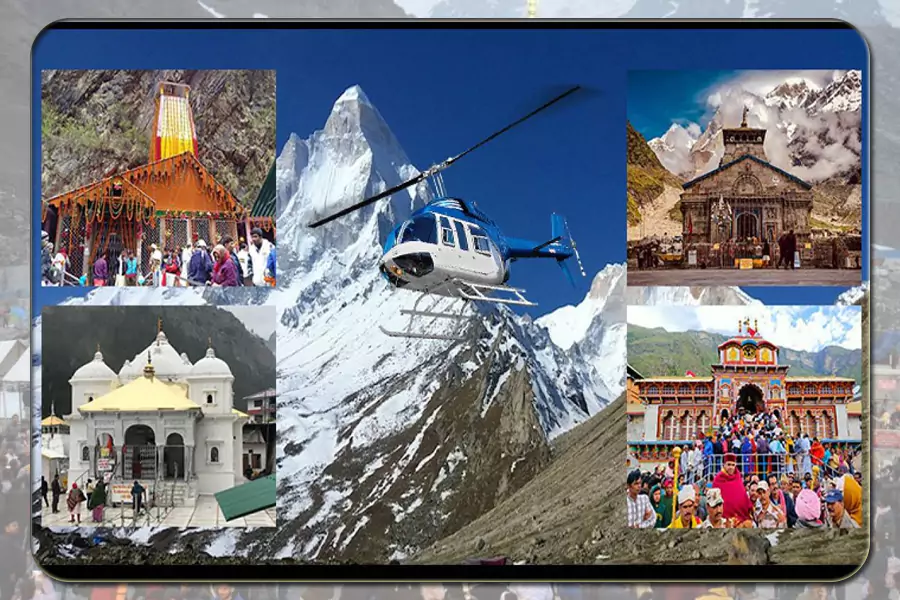
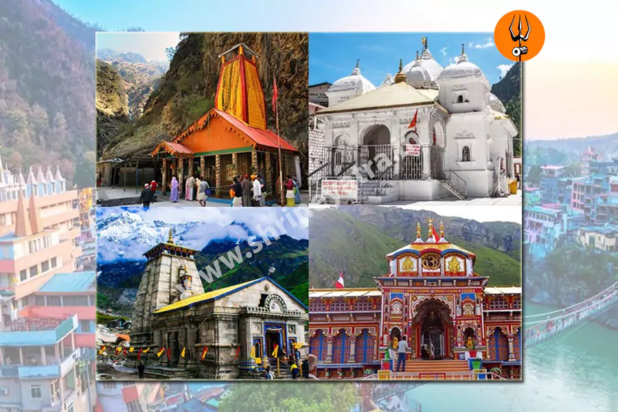


1. Yamunotri Dham: How Difficult Is It to Visit?
Yamunotri Temple stands at roughly 3,233 metres above sea level, according to Uttarakhand Tourism. Visitors generally travel by road to Janki Chatti before continuing uphill to the temple. The route includes steep sections, so even a shorter trek can feel tiring if you are not used to walking on mountain trails.
Trek Distance and Walking Conditions
The official Yamunotri page describes the trek from Janki Chatti as around 3 km. Other published route descriptions use longer estimates, including distances of around 5–6 km. These differences may reflect route measurements and the information source. Check the current local route before deciding how much time and energy to allow.
The trail climbs through a mountain setting and can become more difficult during rain or when the surface is wet. You may need to stop regularly to catch your breath, especially on steeper sections.
Weather and Transport Options
Rain can make the path slippery, while cold weather may increase discomfort. Pony and palki services have traditionally operated on this route, but availability, permitted operations and prices can change. Verify arrangements locally or through official information before relying on them.
Is Yamunotri Suitable for Beginners and Older Travellers?
Beginners may complete the walk if they have prepared adequately and the conditions are suitable, but they should not treat the distance as an easy stroll. Older travellers should consider their walking ability, balance, medical needs and the availability of assistance.
Practical tip: Practise walking uphill and climbing stairs before the trip. Use comfortable footwear with a good grip, carry rain protection and allow enough time for rest.
2. Gangotri Dham: Is It Difficult to Reach?
Gangotri Temple is different from Yamunotri and Kedarnath because motorable roads reach the temple town. The ordinary temple visit does not require the long trek to Gaumukh. Visitors can travel to Gangotri by road and walk around the temple area.
Road Access and Altitude
The journey to Gangotri can still be tiring because the road passes through mountain terrain. Travel time depends on your starting point, road conditions, traffic and any disruptions along the route.
Official sources also differ on the temple’s altitude. One Uttarakhand Tourism page gives approximately 3,000 metres, while another describes Gangotri at around 3,415 metres. Use the current official Dham information for planning and avoid treating one figure as universally agreed.
Gangotri Temple Versus Gaumukh Trek
This distinction matters when comparing the four Dhams. Gangotri Temple is accessible by road. Gaumukh, a trekking destination associated with the source of the Ganga, requires a separate trek and involves additional route requirements. It is not necessary to complete the Gaumukh trek to visit Gangotri Temple.
Is Gangotri Suitable for Families and Senior Citizens?
The temple visit may be more manageable for people who want to avoid a long uphill trek. However, the mountain drive, altitude, cold and possible road delays still need consideration.
Practical tip: Plan for a tiring road journey, keep warm clothing handy and avoid adding a demanding trek to your itinerary unless everyone in your group is prepared for it.
3. Kedarnath Dham: Why Is Its Trek Challenging?
Kedarnath is generally considered the most demanding Dham for trekking. The temple stands at approximately 3,580 metres, and the usual approach involves travelling by road to Gaurikund before walking uphill to the temple.
Trek Distance and Physical Effort
Published official route descriptions are not identical. Uttarakhand Tourism describes a trek of around 15 km in one itinerary and around 19 km in another. These should be treated as route estimates, not as a guarantee of the exact distance a pilgrim will cover. Confirm current trail arrangements and the starting point before departure.
The walk requires sustained effort over several hours. The combination of uphill movement, uneven surfaces, altitude and changing weather can make it challenging for first-time trekkers. A person who walks comfortably on flat roads may still find this route demanding.
Weather, Crowds and Rest Stops
Rain can make sections slippery, while cold conditions can make the journey uncomfortable. Crowds may also affect walking speed and waiting time during busy periods. Rest stops and services along the route can help, but their availability and operating conditions should be checked during the travel season.
Alternative Transport
Helicopter services and pony or palki arrangements may be available, depending on the season and official operating conditions. Helicopter services are weather-dependent and can be delayed or cancelled. They also do not guarantee that a traveller will avoid all walking or altitude-related strain.
Check official arrangements and booking information through the IRCTC HeliYatra portal before making plans.
Who Should Prepare Carefully?
First-time trekkers should build walking stamina in advance and allow enough time for the journey. Older travellers and people with medical concerns should discuss the trip with a qualified healthcare professional and consider their individual ability to manage altitude and exertion.
Practical tip: Do not plan to complete the trek in a hurry. Keep your pace comfortable, take breaks and follow official instructions if weather or route conditions change.





4. Badrinath Dham: Is It the Easiest to Visit?
Badrinath Temple is accessible by road, so visitors do not need to complete a long uphill trek to reach the temple area. Uttarakhand Tourism places the temple at approximately 3,133 metres above sea level.
Road Journey and Walking
Most visitors travel to Badrinath by road and walk around the temple area for darshan. This makes the final approach less physically demanding than the main treks at Kedarnath and Yamunotri.
However, road access does not make the entire journey effortless. Mountain roads can be tiring, and delays may occur because of traffic, landslides, weather or other restrictions. The altitude and cold can also affect how comfortable the visit feels.
Is Badrinath Suitable for Families and Older Travellers?
Badrinath may be a more manageable choice for people who want to avoid a long trek. Still, consider the length of the road journey, the amount of walking around the destination, available accommodation and each traveller’s medical needs.
Practical tip: Allow time for rest during the road journey and avoid assuming that a road-accessible temple will be comfortable for every traveller.
Which Dham Has the Hardest Trek?
Kedarnath is generally the hardest trek by distance and sustained uphill effort. Its usual approach involves a long climb from Gaurikund, with official Uttarakhand Tourism descriptions giving estimates from around 15 km to 19 km one way.
Yamunotri also presents a substantial challenge. Its uphill approach from Janki Chatti is shorter in some official descriptions, but the gradient can make it tiring. The experience depends on the route, weather, crowd levels and the traveller’s walking stamina.
Gangotri and Badrinath are different because their temples are accessible by road. Longer treks in the Gangotri region, such as Gaumukh, are separate activities and should not be counted as part of an ordinary Gangotri Temple visit.
In short, Kedarnath is the stronger answer when comparing the main pilgrimage treks by overall distance and effort. Yamunotri can still feel difficult to someone who finds steep climbing harder than a longer walk.
Which Dham Is at the Highest Altitude?
Kedarnath is listed at approximately 3,580 metres on the official Uttarakhand Tourism page, making it the highest of the four using the commonly published temple-altitude figures. Yamunotri is around 3,233 metres and Badrinath around 3,133 metres. Official Gangotri pages give differing figures, so altitude comparisons should be treated with that qualification.
Remember that temple altitude, the altitude at the start of a trek and the elevation gained along a route are different measurements. A higher destination does not automatically have the hardest trek. Gradient, distance, terrain and weather also matter.
Altitude can affect people regardless of fitness. The CDC explains that high-altitude illness can cause symptoms such as headache, dizziness, fatigue and nausea.
Which Dham Is the Most Physically Demanding?
For travellers walking the usual pilgrimage routes, Kedarnath generally requires the greatest sustained physical effort because of its long uphill approach. Yamunotri also demands stamina because of its steep climb.
Gangotri and Badrinath usually involve less walking for the temple visit itself, but their road journeys can be long and tiring. A road journey can be demanding in a different way from a trek, particularly for people who struggle with prolonged sitting, winding roads or altitude.
There is no single difficulty level that applies to every pilgrim. Walking stamina, balance, health, acclimatisation, weather and the choice of transport can change the experience.
Which Dham Is Best for Beginners?
For a beginner who wants to avoid a long trek, Gangotri and Badrinath are generally more accessible because roads reach their temple areas. The choice between them should also consider the road journey, accommodation and current weather.
Yamunotri requires preparation for a steep uphill walk. Kedarnath calls for more careful planning if you intend to complete the main trek on foot.
Beginners should start with realistic expectations, practise walking before the trip and leave enough time for rest. If you have a medical condition that could affect high-altitude travel, seek professional advice before choosing a route.
Which Dham Is Better for Senior Citizens?
There is no universal answer based on age alone. A senior traveller who walks regularly may manage a route differently from someone of the same age who has limited mobility or a medical condition.
- Gangotri: Road access makes the ordinary temple visit more manageable for many people who want to avoid a long trek.
- Badrinath: Road access also reduces the need for sustained uphill walking.
- Yamunotri: The uphill approach may be tiring, so assess walking ability and confirm current transport options.
- Kedarnath: The long trek requires careful planning. Alternative transport may help, but weather, altitude and remaining walking still matter.
Discuss relevant health concerns with a qualified healthcare professional. Build rest time into the itinerary and check current medical and transport arrangements before departure.
Which Dham Is Better for Families With Children?
Families should consider each child’s age, walking ability, health, tolerance for long road journeys and ability to cope with cold or changing weather.
Gangotri and Badrinath may be more manageable for families who want to minimise trekking. Yamunotri requires a longer uphill approach than a typical temple visit at those road-accessible destinations. Kedarnath requires the most careful planning if the family intends to walk the full route.
Choose accommodation that allows adequate rest, carry suitable clothing and avoid a tightly packed schedule. Check current facilities and transport options rather than assuming that every service will be available.
Can You Visit All Four Dhams Without Trekking?
You can reduce the amount of walking, but you should not assume that every Dham can be visited with no walking at all.
- Yamunotri: The road journey generally ends at Janki Chatti. Pony or palki services may be available for the uphill approach, subject to current operations.
- Gangotri: Road access reaches the temple town, followed by a short walk around the temple area.
- Kedarnath: Helicopter services and pony or palki arrangements may be available, depending on official operations. The final walking requirements and drop-off arrangements should be confirmed.
- Badrinath: Road access reaches the temple area, with local walking required for the visit.
Transport availability can change with weather, season, booking status and administrative instructions. Confirm services through official channels before travelling. For Kedarnath helicopter information, use the official IRCTC HeliYatra portal. Do not assume that a helicopter booking guarantees a flight or removes every physical demand.
How Does Weather Affect Char Dham Difficulty?
Weather can change the difficulty of the journey even when the route remains the same.
- Rain: Can make trekking surfaces slippery and delay road travel.
- Cold: Can make waiting and walking uncomfortable, particularly at higher elevations.
- Snow and seasonal closures: Can affect access and the operating season.
- Landslides and road disruptions: Can cause delays or require changes to the itinerary.
- Sudden weather changes: May affect helicopter operations and trekking conditions.
The four destinations do not always experience identical conditions. Check the India Meteorological Department’s Char Dham Yatra forecast and nowcast before departure and follow local instructions. A forecast is time-specific, so do not rely on an old screenshot or a report from another route.
Which Dham Takes the Most Time to Visit?
Total time depends on where you start, how you travel and whether you plan to trek or use available transport.
Consider five separate parts of the journey:
- Travel to the destination: Road journeys can take many hours and depend on traffic and conditions.
- Final approach: Kedarnath and Yamunotri require an uphill approach on their usual routes.
- Temple visit: Darshan and waiting times depend on local arrangements and crowd levels.
- Rest and overnight stays: These are important after long road journeys or strenuous walks.
- Unexpected delays: Weather, road disruptions and transport changes can affect the schedule.
A full road-based Char Dham itinerary commonly needs around 10–12 days, though the actual duration varies by route and starting point. Treat this as a planning estimate rather than a guarantee. Avoid scheduling the trip so tightly that one delay makes the entire itinerary unworkable.
Overall Ranking: Which Is the Most Difficult Dham?
The most useful ranking depends on what you mean by difficulty.
| Criterion | Practical Conclusion | Why |
|---|---|---|
| Hardest main pilgrimage trek | Kedarnath | Long uphill approach and sustained physical effort |
| Steep uphill approach | Yamunotri is a major challenge | The gradient can make the shorter route tiring |
| Most demanding road-based temple visit | Depends on route and conditions | Journey duration, weather and road access vary |
| Most accessible temple by road | Gangotri and Badrinath | Roads reach the temple areas |
| Highest commonly listed temple altitude | Kedarnath | Official tourism information lists about 3,580 m |
| Best option for minimising walking | Usually Gangotri or Badrinath | Neither ordinary temple visit requires a long trek |
This is an editorial comparison of route characteristics, not an official government rating. It does not use invented scores because there is no single standard scale that combines trekking, road travel, altitude and weather.
Overall conclusion: Kedarnath is generally the most difficult Dham for trekking. Yamunotri is another demanding destination on foot. Gangotri and Badrinath are more accessible for ordinary temple visits because of road access, although their journeys still require sensible planning.
Which Dham Should You Choose?
- First-time pilgrims: Consider Gangotri or Badrinath if you want to minimise trekking, while still preparing for mountain-road travel.
- Experienced trekkers: Kedarnath offers the greatest sustained trekking challenge among the usual temple approaches.
- Senior citizens: Compare walking ability, health, road journey length and available transport before choosing.
- Families with children: Prioritise rest, manageable travel days, suitable clothing and flexible plans.
- Travellers who want to minimise walking: Investigate current transport arrangements for Yamunotri and Kedarnath; consider road-accessible Gangotri and Badrinath.
- Travellers concerned about altitude: Discuss relevant health concerns with a qualified professional and plan for adequate rest.
- Pilgrims with limited time: Choose a realistic itinerary with buffer time instead of trying to fit every destination into a schedule that leaves no room for delays.
How to Prepare for the Char Dham Yatra
Good preparation can make the trip more manageable, though it cannot remove every risk.
- Practise walking: Build up your walking distance gradually before travelling.
- Train on stairs or gentle slopes: This can help prepare your legs for uphill routes.
- Improve general fitness: Gentle cardiovascular activity and balance exercises may help with walking and stability.
- Wear suitable footwear: Choose comfortable shoes with good grip and break them in before the trip.
- Carry layered clothing: Conditions can change between lower road sections and higher destinations.
- Pack rain protection: Keep a raincoat or other suitable waterproof layer available.
- Drink fluids and eat regularly: Carry water and suitable snacks for long travel days.
- Protect yourself from the sun: Use sunglasses, sunscreen and appropriate headwear.
- Carry essential medicines: Keep prescribed medicines and relevant medical information with you.
- Check registration requirements: Use the official Uttarakhand registration portal and follow current instructions.
- Save emergency contacts: Check official helplines before departure and keep important numbers accessible.
- Allow buffer days: Leave room for road delays, weather changes and rest.


Important Health and Altitude Precautions
High-altitude travel can affect people even when they are physically fit. Symptoms of altitude illness can include headache, nausea, dizziness and unusual fatigue. More serious symptoms, such as confusion or difficulty walking, require urgent medical assessment.
If symptoms develop or worsen at altitude, do not simply push on to finish the trek. Stop ascending and seek medical help promptly. Follow emergency guidance about descent or evacuation.
People with relevant heart, lung or other medical conditions should consult a qualified healthcare professional before planning high-altitude travel. This general guidance cannot determine whether a particular route is medically suitable for an individual.
Common Mistakes to Avoid During Char Dham Yatra
- Underestimating the effort required for Kedarnath or Yamunotri.
- Assuming that a shorter trek must be easy.
- Ignoring altitude because you feel fit at lower elevations.
- Wearing shoes that have not been tested on long walks.
- Carrying unnecessary luggage.
- Ignoring official weather and road advisories.
- Booking a schedule with no time for rest or delays.
- Assuming helicopter services will operate in every weather condition.
- Relying on old route distances without checking current arrangements.
- Forgetting registration or other current travel requirements.
- Confusing a Gangotri Temple visit with the separate trek to Gaumukh.
- Assuming that road access means no walking or physical effort.
Frequently Asked Questions
Which is the most difficult Dham to visit?
Kedarnath is generally the most difficult Dham for trekking because the usual route from Gaurikund involves a long uphill walk at high altitude. Yamunotri is also demanding because of its steep approach from Janki Chatti.
Is Kedarnath the hardest Dham?
Kedarnath is generally the hardest by trekking distance and sustained uphill effort. However, the overall experience depends on weather, transport, fitness and individual tolerance for altitude.
Is Yamunotri harder than Kedarnath?
Kedarnath generally requires a longer uphill effort, but Yamunotri’s steep approach can feel difficult too. A traveller’s experience depends on gradient, trail conditions, stamina and walking pace.
Which Dham has the highest altitude?
Kedarnath is commonly listed at around 3,580 metres, the highest of the four using the commonly published temple-altitude figures. Official Gangotri sources differ on its altitude, so comparisons should be treated with that qualification.
Which Dham requires the most walking?
Kedarnath generally requires the most walking if you complete its usual route on foot. Yamunotri also requires an uphill walk. Alternative transport may reduce walking, subject to current arrangements.
Which Dham is easiest to reach by road?
Gangotri and Badrinath are accessible by road to their temple areas. The road journeys can still be long and tiring, and local walking may be required.
Which Dham is best for beginners?
Gangotri and Badrinath may suit travellers who want to avoid a long trek. Beginners who plan to visit Kedarnath or Yamunotri should prepare for uphill walking and check current conditions.
Which Dham is suitable for senior citizens?
Gangotri and Badrinath may be more manageable for people who need to minimise walking. Suitability depends on individual health, mobility, altitude tolerance and the length of the road journey.
Can all four Dhams be visited without trekking?
You can reduce walking with road access and, where available, authorised transport services. However, you should not assume that every temple visit can be completed without any walking. Check current arrangements before departure.
Is Gangotri a difficult trek?
The ordinary Gangotri Temple visit does not require a long trek because roads reach the temple town. The trek to Gaumukh is a separate, longer activity that has its own route and permit requirements.
How many days are required for Char Dham Yatra?
A road-based Char Dham Yatra commonly takes around 10–12 days, depending on the starting point, route, travel pace and conditions. Allow extra time for delays and rest.
Which Dham has the most difficult weather?
There is no single Dham that always has the most difficult weather. Rain, cold, snow and road disruptions vary by date and location. Check current official forecasts for each route.
How should beginners prepare for Char Dham Yatra?
Practise walking, build stamina gradually, wear suitable footwear, carry layered clothing and allow time for rest. Check registration, weather and route information before leaving.
Is helicopter service available for Kedarnath and Yamunotri?
Helicopter arrangements may be offered for these destinations, but routes, schedules, bookings and operations vary. Check official information for the relevant travel season rather than relying on old listings.
Can weather disrupt the Char Dham Yatra?
Yes. Weather can affect road travel, trekking conditions and helicopter operations. Monitor official forecasts and follow local instructions if authorities advise delays or changes.